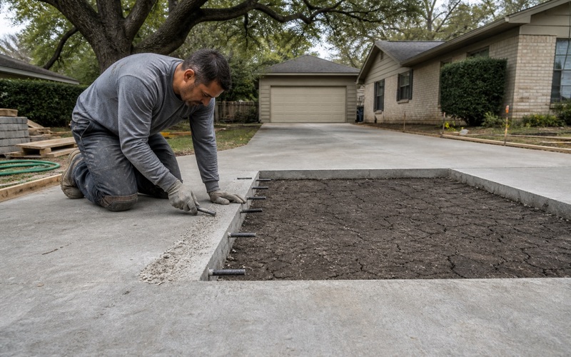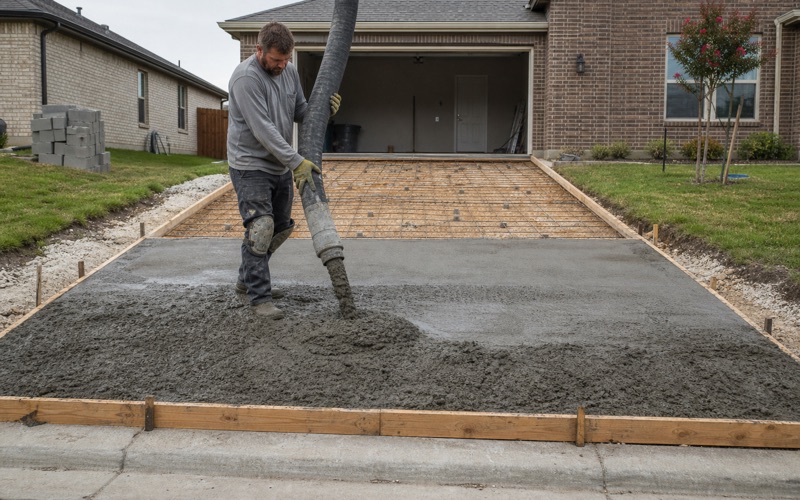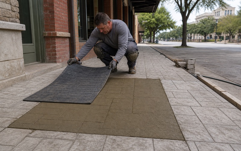
Temple Elite Concrete works as a concrete contractor in Woodway, TX, with 20+ years of driveways, patios, approaches, pool decks and slab additions behind us. The question that decides how a job here starts is not what you want poured. It is which side of a geological line your lot sits on, and when the subdivision it sits in was platted.
Woodway regulates ground by geology, and it names the formations to do it. Section 17-24.1 defines the escarpment line as the line formed where the stratigraphic contact between the Austin Chalk and the South Bosque Shale formations meets the surface of the land. Geologically sensitive areas are defined separately as areas between that line and Lake Waco, or any area in the city with slopes steeper than 6 to 1, meaning steeper than six feet horizontal to one foot vertical.
Land in those areas cannot simply be improved. Section 17-24.2 requires an approved development report before it is divided, improved or developed, and any preliminary fieldwork needed to prepare that report requires a site testing permit approved by the city council itself rather than by staff. That is a front-of-job process, not a formality at the end, which is exactly why we raise it before anyone talks about a pour date.
The Line the City Drew Through Your Subdivision
The Escarpment Line and the Formations Behind It
Naming a stratigraphic contact in an ordinance is unusual, and it tells you what the city is actually managing. The escarpment zone is defined as the corridor of property running from 45 feet beyond the crest to 45 feet beyond the toe, where crest and toe are the lines above and below the escarpment line at which the slope becomes less than 6 to 1.
The regulation is keyed to an approved City of Woodway Slope Delineation Map, and its stated objectives include ensuring that development is planned to fit the topography, soils, geology and hydrology of the site. The escarpment rules also take precedence over any conflicting provision of any adopted building code, which is a strong statement about which rule wins where two of them meet.
Ground Steeper Than 6 to 1
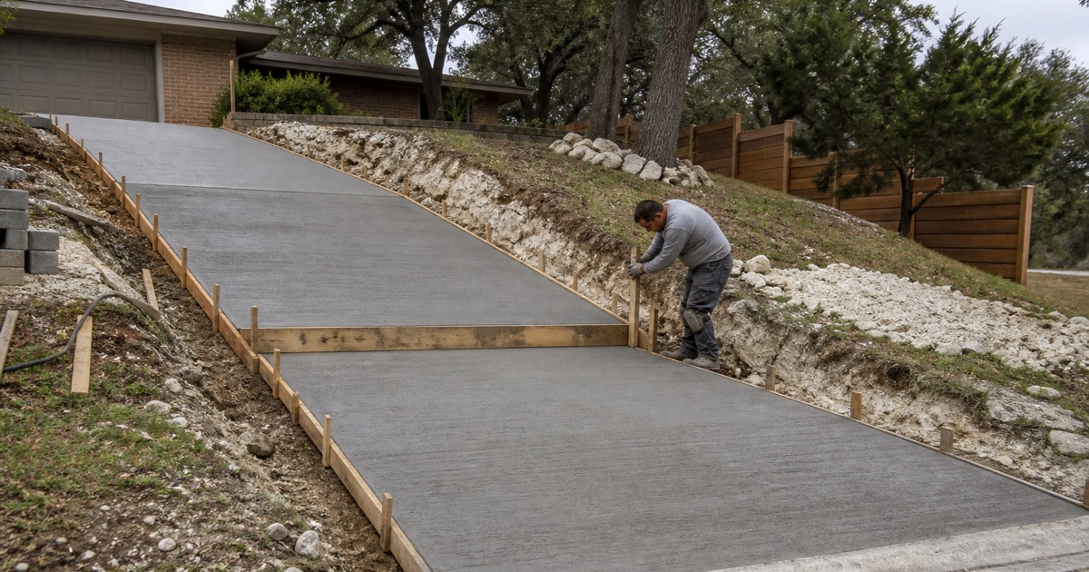
The slope test is the part that catches ordinary residential work, because it is not limited to the corridor along the escarpment itself. Any area in the city with slopes steeper than 6 to 1 is a geologically sensitive area, and on a city with this much relief that reaches a great many back yards.
For a patio, a pool deck or a driveway on a sloping lot, that means the first question is a mapping question rather than a construction one. We establish where the lot sits relative to the delineation map before scoping the work, because the answer changes what the process looks like from the very first step.
The June 24, 1991 Plat Date and the Engineer’s Seal
Section 17-24.3 carries the exception a contractor on an older Woodway street meets most often. The escarpment provisions do not apply to a lot whose final subdivision plat was approved before June 24, 1991, but the exemption is conditional rather than automatic: when a building permit is applied for, the plans for the improvements to be constructed must bear the seal of a registered professional engineer certifying on the plans that the design is adequate for use on the site.
So on a pre-1991 lot the development report and the council-approved site testing permit fall away, and an engineer’s seal takes their place. Given that most of this city’s housing predates 1980, that is the common path rather than the exception, and it is a considerably lighter one. It is still not nothing, and a quote that has not accounted for an engineer’s involvement on such a lot has left something out.
Looking for concrete-contractor closer to Cameron? See Concrete-Contractor in Cameron.
Two Hundred Feet of Fall Across a Small City
Relief, Slope and Where a Truck Can Set Up
The terrain here is real and measurable. Sampling the national elevation service across the city polygon returns a low near 509.5 feet at the north edge and a high of 721.1 feet in the south, which is 212 feet of relief across roughly 6.6 square miles of land. Map units whose slope class tops out at 8 percent or more cover about 60 percent of the mapped city area.
That makes driveway grade, drainage direction and truck access site questions rather than formalities. It also brings a housekeeping rule directly into scope: the city makes it unlawful for anyone performing work on a premises to allow sand, gravel, rock, caliche, dirt or mud to run, wash or flow off the property onto public property in an amount that impedes traffic or creates a hazard, and requires that person to clean it up. On this ground that is a rule about spoil and washdown running downhill into a street.
Eight to Fifteen Inches to Rock Over Much of the City
The soil under Woodway is shallow, gravelly and calcareous rather than deep and reactive. About 45 percent of the mapped city area falls in map units named for Eddy or Stephen, and both reach weakly coherent paralithic bedrock quickly: Eddy at 20 to 25 centimeters, roughly 8 to 10 inches, and Stephen at 25 to 39 centimeters, roughly 10 to 15 inches.
The consequence is that the excavation line, not the concrete line, is what moves a price here. A footing trench, a pier or a plumbing rough-in lands in chalk rather than soil, and a bid written on the assumption of ordinary digging is a bid that will need revisiting. We establish the likely depth to refusal on the specific lot before quoting.
Telling Which Lot You Are Actually On
Eddy is the clearest illustration of why the local picture is not the regional one. It runs a plasticity index of 16 with 30 percent clay, a linear extensibility of only 1.5 percent, 60 percent calcium carbonate and 33 to 57 percent rock fragments by volume, which is a nearly inert material as far as slab movement is concerned.
The middle of the city is deeper and still carbonatic, with McLennan clay loam at a plasticity index of 26 to 28 and no root-restrictive layer recorded within about two meters, and Lott silty clay at 29 at the surface falling to 14 at depth. The practical upshot is that a single street can cross from gravelly loam over rock to something appreciably deeper, so the reading that matters is the one taken on your lot rather than the one that describes the region.
Permits, Bonds and the Cost of Skipping Them
The $1,000 Bond With Two Sureties
Woodway requires a bond from the contractor rather than a registration, and the wording is specific. Anyone who constructs, reconstructs or repairs any street, sidewalk, drive approach, street intersection, curb or gutter or other concrete work in the city must execute and deliver a bond of $1,000 payable to the city, with two or more good and sufficient sureties, one of which must be an approved surety company, conditioned on workmanlike construction, strict compliance with the specifications, and full indemnity to the city.
Because Texas issues no state license for concrete contractors, that bond is the credential a homeowner here can actually check. It is a fair and easy question to put to any bidder, and the two-surety requirement means it is not something that can be improvised on the day.
Permit Fees for Approaches, Walks and Slabs
The fees themselves are modest. A permit to construct a street, drive approach, sidewalk, street intersection, or curb and gutter is $35.00, and a permit to open, dig into, remove the surface from, excavate, or bore or tunnel under any street, sidewalk, alley or public way is $25.00. A commercial parking lot permit is $150.00 and a grading and site preparation permit is $50.00.
New slab work is priced by the slab instead: $0.21 per square foot of total slab space with a $75.00 minimum, which also applies to a deck or patio cover and to an addition whose footprint change stays within five feet of the main structure. A second inspection review is $45.00. All of that is calculable in advance, so it belongs on a proposal as a real line rather than as an allowance.
Working Without a Permit
The penalty side is where the arithmetic changes. General construction permits carry an explicit penalty for proceeding without one: double the fee for a first offense, and double the fee plus $200.00 for subsequent offenses.
There is also a clock on a permit once it exists. A permit under the sidewalk and curb article is cancelled if active work does not commence within 60 days of issuance, and all fees paid are retained by the city. Alignment and grade specifications have to be furnished to the city engineer for approval before construction begins, and that approval is a condition precedent to the permit issuing at all.
The Public Walk in Front of Your House
Abutting Owner Liability
This is the provision most Woodway homeowners have never read and would want to. Section 16-21.18 makes the abutting property owner, or the person enjoying the use of the abutting property, primarily liable in damages for loss or injury caused by a defective sidewalk, curb or gutter, and section 16-21.19 places on that owner the duty to keep the sidewalk, parkway, curb and driveway abutting the property in good and safe condition.
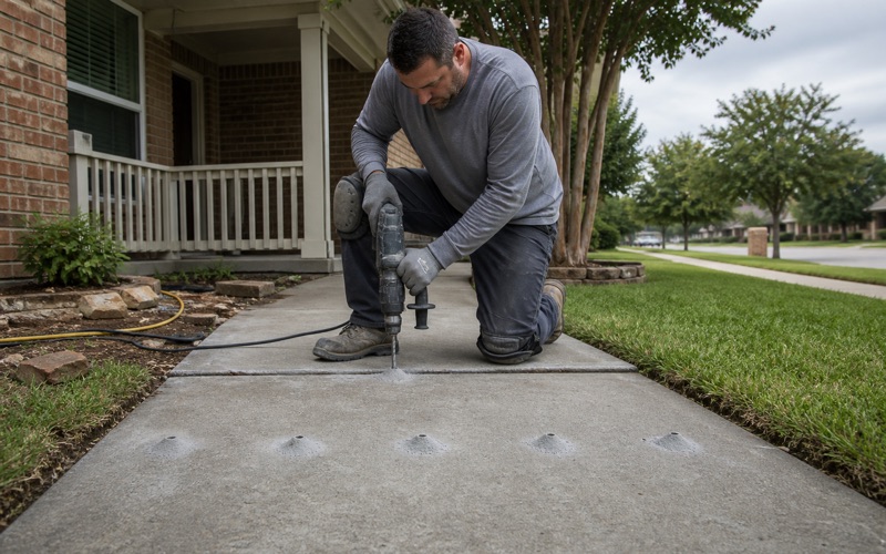
For a homeowner on an established street with a lifted or spalled public walk, that puts the exposure on the house rather than somewhere else. It converts a cosmetic annoyance into a reason to deal with a trip hazard, and it makes grinding a raised panel or replacing a broken one a considerably easier decision to justify.
Sidewalk Width by Street Class
Width follows the class of street the walk runs along. A new sidewalk along an arterial street must be at least six feet wide with a four-foot planting strip or other city-approved buffer to the street curb, and a new sidewalk along a collector street at least five feet wide with the same buffer. Where existing sidewalks on adjacent infill lots sit against a narrower buffer, that narrower width may be carried through the lot provided it still keeps pedestrians a safe distance from the curb.
What We Check Before We Pour on Your Street
Our checklist here is short and it runs before the price. Which side of the delineation map the lot falls on, when the subdivision was platted and whether an engineer’s seal is needed, the likely depth to chalk, the grade and where a truck can reach, and which permits the specific scope requires.
That last one deserves a phone call rather than an assumption, because the city’s own published pages describe the permit line for residential flatwork beyond the drive approach differently from one another. We would rather ask the Inspections Department directly and price against the answer than pick the reading that suits the quote.
- 20+ Years in Central Texas
- Bonded & City Registered
- Free Written Estimates